Perseverance successfully landed on Mars last night, marking yet another incredible technical feat. During their first press conference held after landing, NASA and JPL scientists revealed several details about the exact location of the rover, and the next steps to come.
As you know, Perseverance was scheduled to land in Jezero Crater, a 45 kilometer formation wide believed to have harbored water between three and four billion years ago. But where did it land, precisely? Al Chen - who led the entry, descent and landing team - said the rover landed about 1.7 km from the center of its intended landing zone , in a "slightly hilly" area.
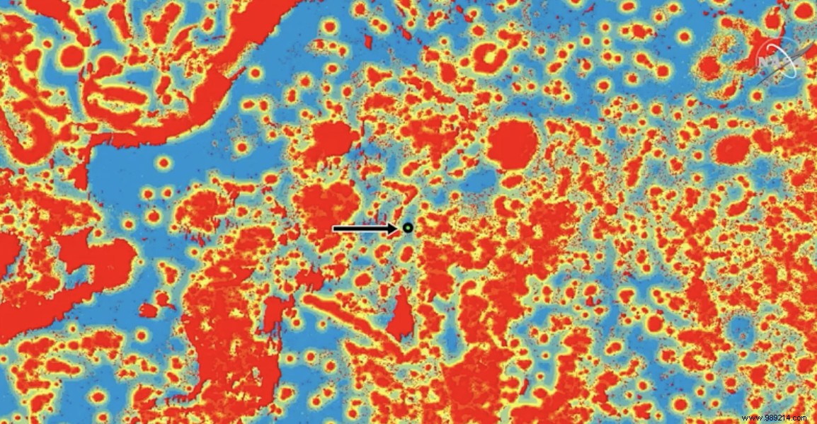
Showing the image below, the researcher pointed out that blue areas were considered "acceptable" for landing. Areas in yellow were considered "uncertain", while those in red were the riskiest. Here, the chance of landing successfully was only 4%.
As you can see, Perseverance's software managed to place it in a relatively narrow blue channel surrounded by red. “We managed to find this parking spot” , Chen joked. The rover also ended up almost straight, with an inclination of only 1.2 degrees .

One of the first things to do next will be to retrieve images and audio recorded during the landing phase. This requires the use of a low-gain antenna to transmit data to probes orbiting Mars.
According to Jennifer Trosper, the rover's deputy project manager, the Mars Odyssey orbiter should pass briefly over Perseverance in the next few hours, followed by the Mars Trace orbiter Gas, which should be able to capture larger amounts of data. Matt Wallace, another deputy project manager, points out that this information could be enough for NASA to publish a video of the landing as soon as Monday .
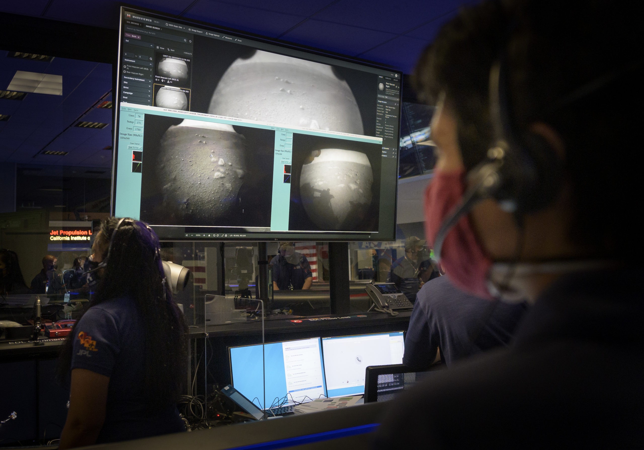
As for the first images shared by the American agency, note that they were taken with transparent lens caps on the rover's navigation cameras. That is why they are of low quality. Rest assured, we can expect much better images over the next few weeks. To get them, Perseverance will have to deploy its mast, equipped with its main imaging camera.

For now, it's still too early to move . After spending several days checking all of the rover's instruments, the next big step will be to install Perseverance's driving and navigation software. These operations should take another three to four days before you can start moving on the surface.
Once this step has been validated, the focus will be on the first test flight of the small Ingenuity helicopter .
As soon as NASA teams have determined the ideal site, Perseverance will lower the rotorcraft to the ground approximately six days later before moving away. About a week later, the mission leaders will then give themselves thirty days to test its capabilities. It is then likely that, in the process, the rover will begin to sample certain rocks in its immediate environment.
Ken Farley of Caltech points out that the areas currently surrounding Perseverance could be interesting to study. On the other hand, in the long term, the objective will be to move towards what appears to be the remains of an ancient delta, to the northwest (in the upper left corner of the image at the top). This area should provide plenty of collection opportunities for a sample return mission still in planning phase.
For information, this delta is about two kilometers away of where the rover is currently located. It is therefore not quite the next door, and many opportunities for chance discoveries can be made along this route.